Urban design detail plan for the coastal area of Vale do Lobo
Urban design detail plan for the coastal area of Vale do Lobo
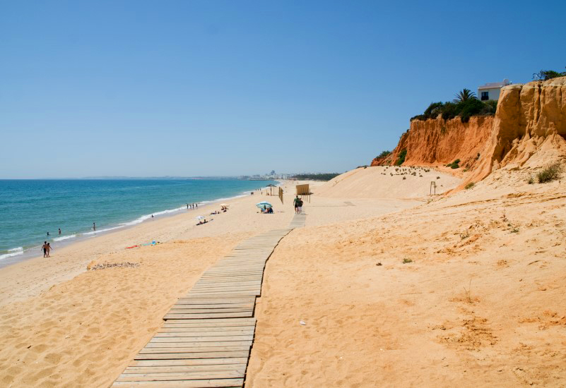
The Algarve coastline between Vilamoura and the Cape Santa Maria (the most southern point of Algarve) has suffered a very strong erosion since 1970, especially between Forte Novo-Garrão.
The need to make this Plan results from regulation from the Coastal Plan (POOC) for the coastline between Vilamoura – Vila Real de Santo António, which states the need to study several alternative options for the protection of the coast line. A study made by Terraforma and WW in 2007, has produced several such options which were developed into different scenarios by the plan-making process. The scenarios were analysed by the regional coastal governmental agency (ARH Algarve). The chosen scenario was developed into the final Plan proposal.
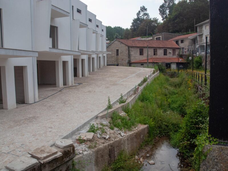
The perimeter of the Plan encompasses not only the coast itself, but also the touristic-urban areas which date from the origins of the Vale do Lobo resort. This perimeter allows the Plan to define not only the best coastal solution but also the regeneration and renewal of the older resort areas, now over 40 years old.
Location
Vale do Lobo, Loulé
Date
2008-2010
Category:
Urban and Spatial Planning and Urbanism, Urban Design Detail Plans


